Trekking route from Malcesine to Tratto Spino: woods and landscapes

Tommaso Toninelli
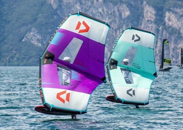
Climbing, trekking and mountain bike

Angela Trawoeger
Creator, photographer and content manager


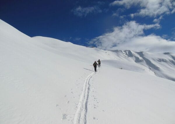
A nice, long, panoramic and very varied route which from Malcesine leads you to the top of Monte Baldo along trail number 10.
We suggest you to try it just if you are in a need to sweat because 1815 meters of positive height difference along 11 km are awaiting.
Tiresome but rewarding.
Map and GPS Track
Details
-
Technical characteristics
-
Starting point
Malcesine
-
Starting point
Tratto Spino
-
Route
Malcesine – mulattiera della Vacco – Sentiero 4 – Faigo – Sentiero 10 – Prai – Tratto Spino
-
Starting height
90m
-
Highest point
1760m
-
Altitude – ascent/descent
1815m/152m
-
Distance
11 km
-
Duration
5 hrs
-
Starting point
-
Difficulty
-
Difficulty
medium to difficult
-
Technical difficulty (1 to 5)
3
-
Physical training (1 to 5)
3/4
- CAI (Italian Alpine Club) difficulty scale
-
Difficulty
-
Scenic appeal
-
Experience (1 to 5)
4
-
Landscape (1 to 5)
5
-
Experience (1 to 5)
-
Type of route
- One way tour
- Summit tour
- Cable car ascent/descent
- Insider tip
- Panoramic route
-
Best time of year
-
From may to november
without snow
-
From may to november
Partner


Points of interest along this hiking trail
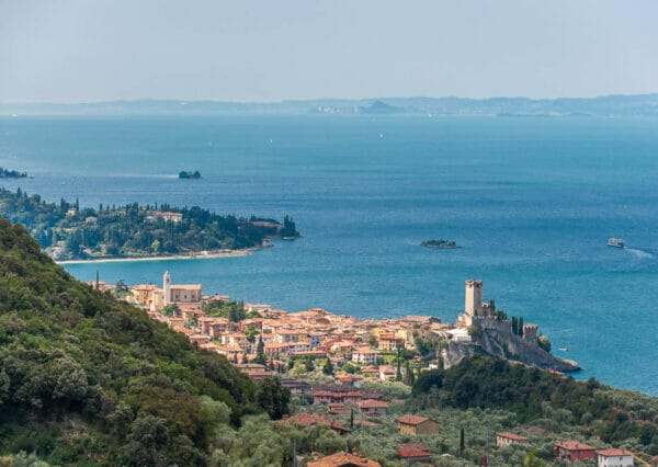
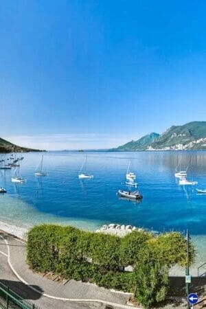
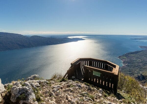
First of all the views over Lake Garda, especially during the final stretch. Very nice too is the ascent in the wood along lonely trail number 10.
Just before the crossroad with the trail of Ventrar you find the ruins of old fortifications of the First World War.
Tour description
From Malcesine enter the Navene Vecchia road, overcome the cable car station and go on to Ristorante il Cervo which you find on the right at the end of the ascent. Take the road to the right uphill before the restaurant.
After a few meters the road becomes a mule track and some nice panoramic points over Malcesine and Lake Garda awaits you. At the first crossroad leave the mule track and turn left while at the second head right and keep going uphill ending in Via Panoramica.
Cross it and follow the uphill road that is just few meters under indicating Fubia – San Michele. It goes on uphill, first over concrete than over mule track and trail. At the crossroad for Monte Fubia keep right and follow indications for San Michele along trail number 4. Stay on the main trail to the clearing of Faigo.
Left is where you have to turn to the next crossroad and follow indications for trail number 10 which leads to Prai. Trail number 10 is aka “la solitaria (the lonely)” or “sentiero del Pino (Pine trail)”.
It raises zigzagged in the wood with an average slope of 20% and in about two hours takes you from the 550 meters of Faigo to the concrete road of Prai at 1400 meters of height.
Keep going up to the left on the road which ends not far from there. It is time now to walk over smooth grass along the trail in the meadow until the crossroad of Ventrar trail.
Keep on walking uphill on the right over a narrow trail which goes up for 2 km along the fields to the Paperino ski lift, just under the paragliding launch area. Walking south for some meters you end up to the top station of the cable car Malcesine Monte Baldo.
Now you can go back to Malcesine with the cable car.
Variant
This route can be even done in reverse. Pay attention because the descent is very long and can be dangerous for your knees.
Our suggestions
Bring enough water with you because there are no possibilities to find some along the route.
The tour during the winter
It is not walkable due to snow
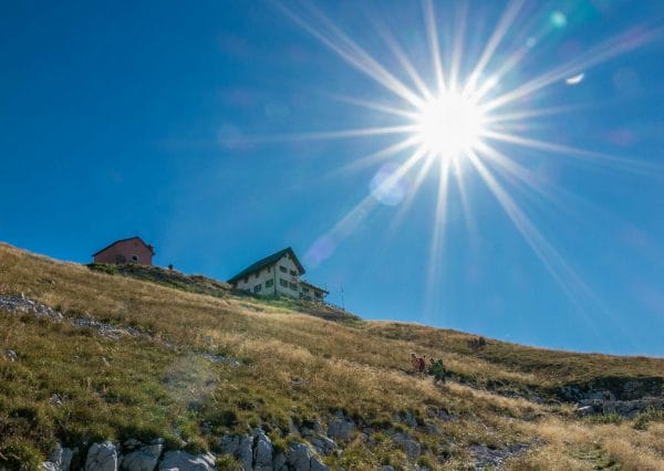
Shelters, huts or bivouacs along the trail
- SkyWalk Monte Baldo Lounge Bar
At the top station of the cable car Malcesine Monte Baldo. - Bar Ristorante La Capannina
Above Paperino ski lift.
Tel. +39 045 657 00 81 – Cel. +39 333 371 03 58 - Ristorante Bar Baita dei Forti
10 meters next to the top station of the cable car Malcesine Monte Baldo.
Tel. +39 045 7400319
Partner
How to reach the starting point of the trail
It starts from Malcesine.
Parking
In Malcesine.
Here you have the list of the parking lots located in the center of Malcesine.
Public transport
- From Torbole or Riva del Garda take a bus travelling south in the direction of Peschiera/Verona.
- From Peschiera or Verona take a bus travelling north in the direction of Riva del Garda.