Show all photos
Show all photos
Show all photos
Show all photos
Show all photos
Show all photos
Show all photos
Show all photos
Show all photos
Show all photos
Show all photos
Show all photos
Show all photos
Show all photos
Show all photos
Show all photos
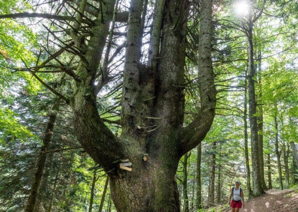
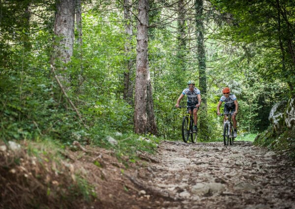
A beautiful walks that will bring you from Tratto Spino to Monte Altissimo passing by Bocca Navene.
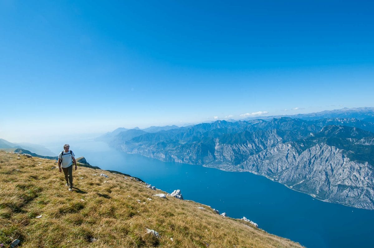
Monte Altissimo at Nago (2079m) forms part of the Garda Pre-Alps and specifically the Monte Baldo range.
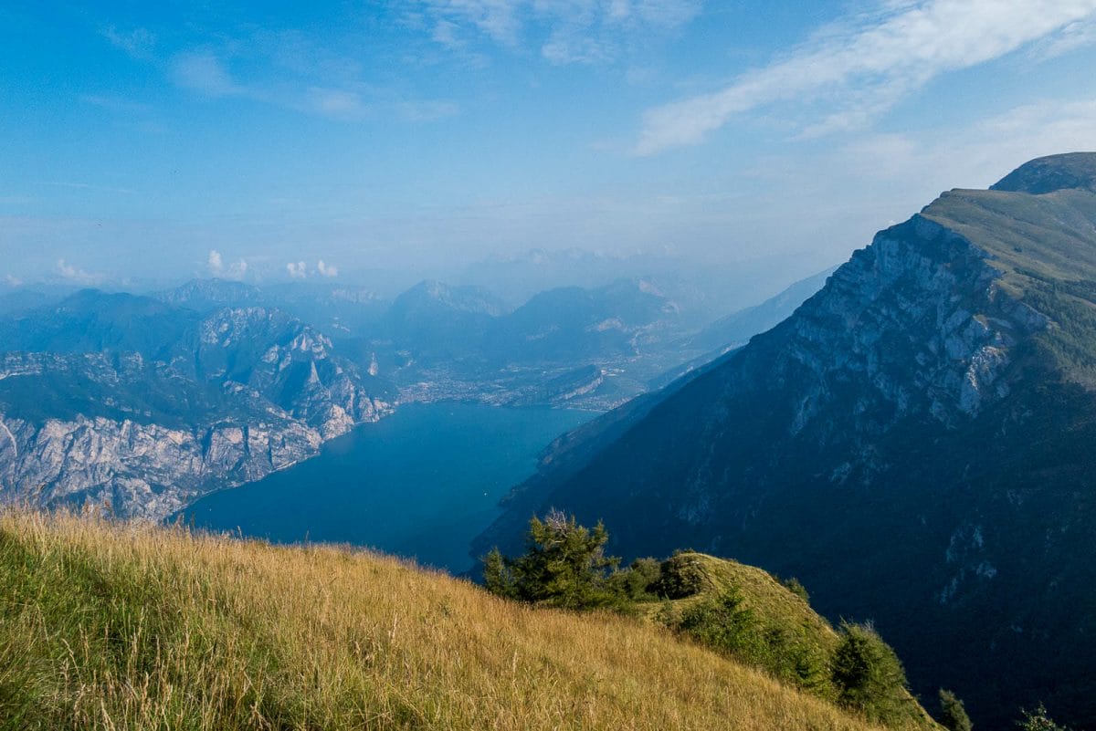
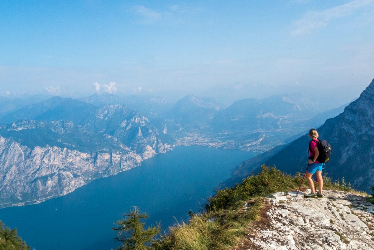
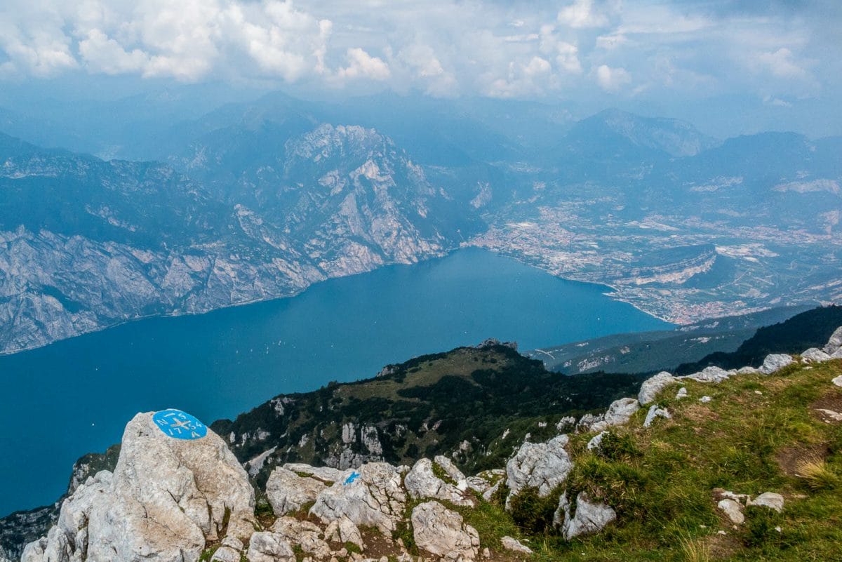
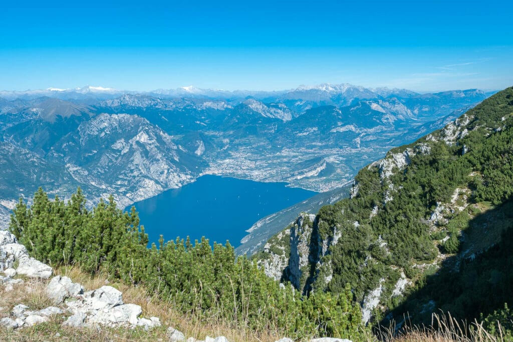
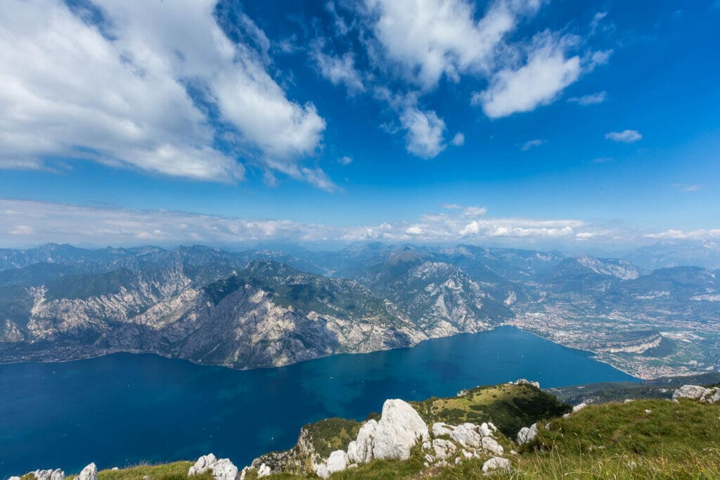
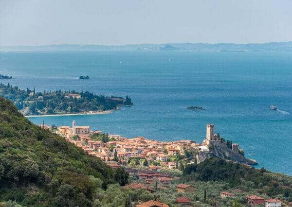
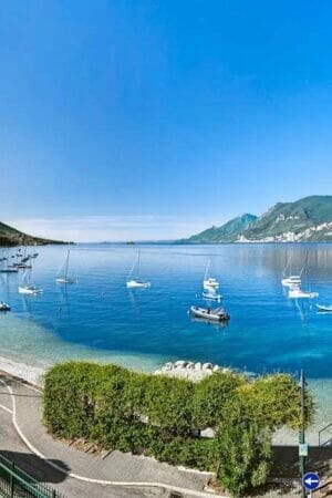
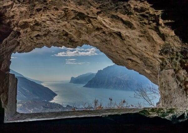
This route is very beautiful and will leave you with some unforgettable images. From Monte Altissimo you will have wonderful views. Right in front of you one of the most famous picture postcard.
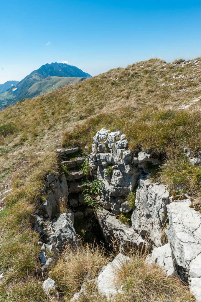
Once you reach the top of Altissimo you can visit the First World War trenches.
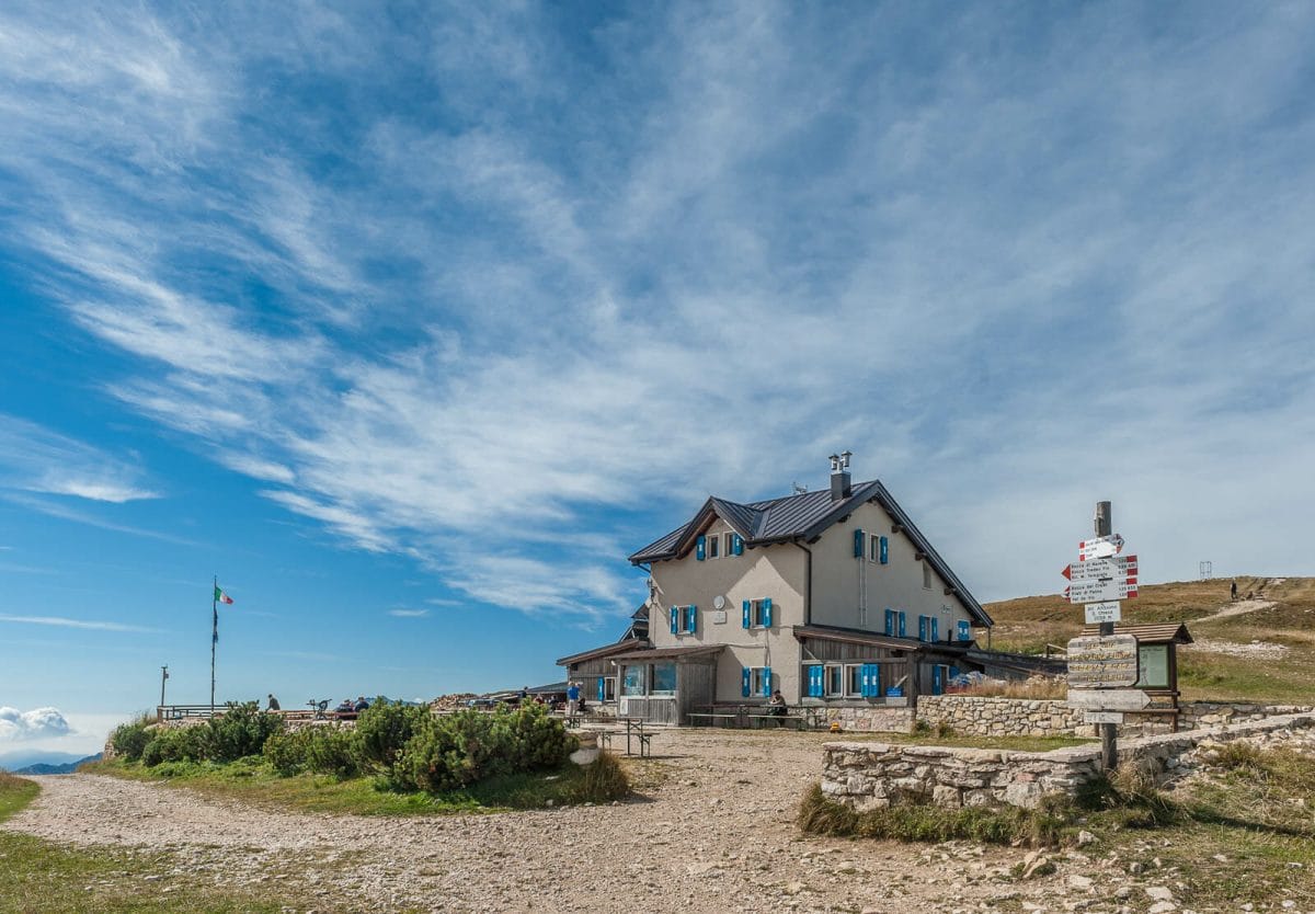
You can also stop at the Altissimo D. Chiesa Refuge where you will find the best food and a warm welcome. This is why a trek up Monte Altissimo di Nago is a must!
Tour description
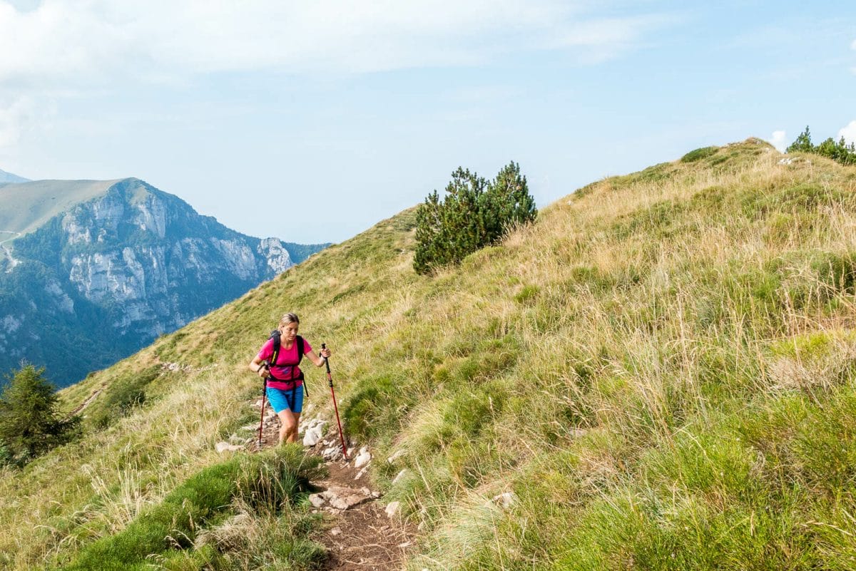
From the top station of the cable car on Monte Baldo, go left towards north and follow signs for Monte Altissimo (path no. 651). Go on for a few kilometres along the ridge of Monte Baldo where there are wonderful views over the whole of Lake Garda and the Monte Baldo and Brentonico ranges.
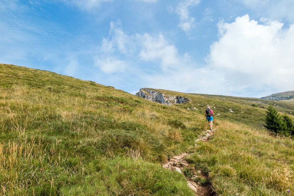
Staying on path 651, go downhill until you reach the road. Keep left until you reach the Bocca Navene Refuge at 1425m. Just after the Refuge, leave the tarmac road and rejoin path 651 which goes first through a wood and then through pastures, always following the ridge.
Where the pastures finish, you then walk for a while on an old military road and then reach the rough track (633) which will take you to the Refuge at Altissimo.
Variant
For those wishing to make a shorter trip, you can go to the Bocca Navene Refuge by car and go from here by foot to this Refuge.
From Bocca Navene:
Time: 2 hours
Length: 3,3 km
Altitude – ascent: 592 m
Difficulty: Medium
Our suggestions
Once you reach Monte Altissimo, first to stop at Damiano Chiesa Refuge, and follow the path on left side which goes behind the Refuge. You will have a beautiful view of Garda Lake from the highest point from 2079m.
The tour during the winter
In the winter the refuge at Monte Altissimo is open in the week end and only with good weather. Before you leave, get information on snow conditions and the opening hours of the Refuge.