Walk with wonderful views, interesting history and flora and fauna at Lake Garda

Angela Trawoeger
Ideatrice, fotografa e content manager


An easy route at Arco in the Caproni woods with many interesting historical, natural and sporty things to see and do. A perfect walk to do in a few hours in a peaceful place surrounded by Nature.
The walk is short, easy and circular, perfect for a two hour trip. It’s suitable for families and can be walked year round.
Map and GPS Track
Details
-
Technical characteristics
-
Starting point
San Martino
-
Endpoint
San Martino
-
Route
San Martino, oolite quarries, Vastrè trenches, San Martino
-
Starting height
85m
-
Highest point
303m
-
Altitude – ascent/descent
273m/270m
-
Distance
3,7km
-
Duration
2 hrs
-
Starting point
-
Difficulty
-
Difficulty
easy
-
Technical difficulty (1 to 5)
2
-
Physical training (1 to 5)
2
-
CAI (Italian Alpine Club) difficulty scale
T: touristic*
*Mountain signs and Italian Alpine Club difficulty scale
-
Difficulty
-
Scenic appeal
-
Experience (1 to 5)
4
-
Landscape (1 to 5)
4
-
Experience (1 to 5)
-
Type of route
- Round tour
- Multi-stage tour
- Cable car ascent/descent
- Panoramic route
- Suitable for families and children
- Insider tip
-
Best time of year
- All year over
Partner


Points of interest along this walk
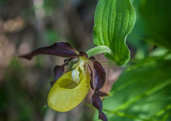
You go past oolite quarries with pillars supporting the face, to the Pueblo sector of the famous Massone rock face, to to the ruins of miners’ houses, in the northernmost holm-oak woods in Europe and where you will also find trenches from the Great War.

Tour description
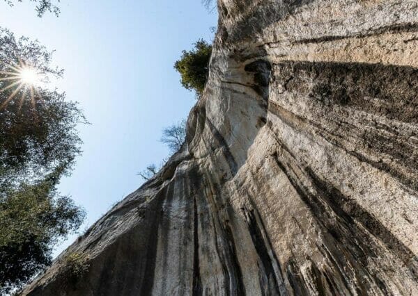
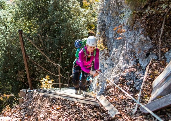
From the carpark at San Martino in Angelo Maino street, take the road up to the small roundabout that enters the hamlet of San Martino. After about 350m, turn uphill to the right following signs to Bosco Caproni, Chiesetta di San Martino and Falesia Policromuro. Carry on on the tarmacked road going gently uphill for about 600m until you reach the first section of the famous Policromuro cliff of Massone which is on your left.
Leave the tarmac road and take the mule track that goes into the woods in front of you, signed as path 668 and ‘Percorso Naturalistico’ (Nature walk). At the next fork in the road, go left to get to Pueblo. Here there are extra steep climbing routes with the difference that they start underground because the cliffs start in the caves. Here you will find ‘Underground’, 8c+/9a degrees, the most well-known climb of Massone.

Go on uphill near the oolite quarries of Dosso di Vastrè and the holm-oak woods which are the northernmost in Europe. Going along this path, you will get to two old houses once used by miners. One has been rebuilt and is now used by the SAT of Arco.
Now you start going downhill.
Turn left and straight away right following signs for the ring road of the First World War trenches.
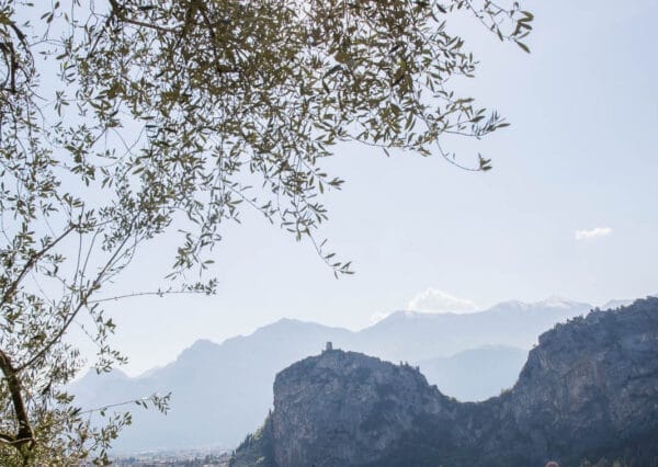
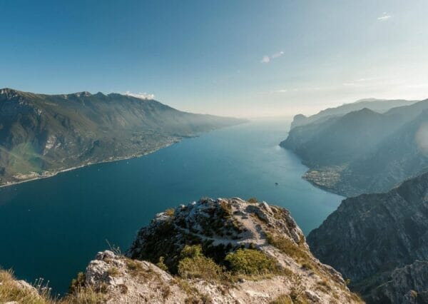
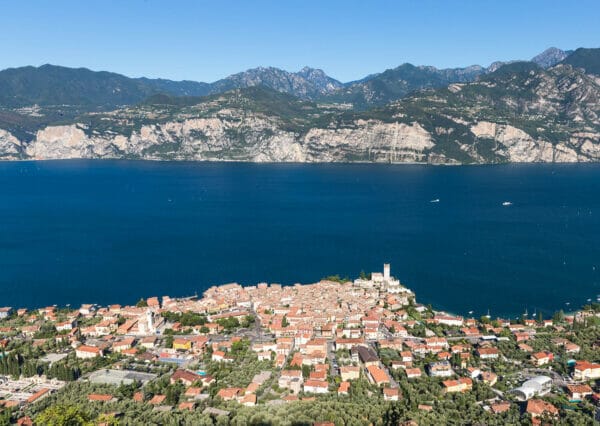
Here there are some beautiful views over the Sarca Valley, Arco Castle, Mount Brione, Lake Garda and the villages of Dro and Ceniga.

At the end of the trenches turn right at the fork and go on downhill on an easy path to the Family Cliff at San Martino.
Here you get back on the tarmac that you started on. Turn left in the olive grove to walk in front of the San Martino church. Carry on downhill and turn right along the ladders to reach the centre of San Martino. Here turn left and you will be back at the carpark in 100m.
Our suggestions
- If you don’t find a spot to park at San Martino, leave the car near the Arco Bridge. This adds about 1km to the walk.
- At the end of the trenches, you will find a large area with wonderful views perfect to stop in the sun or eat a packed lunch.

The walk in winter
This walk can be done all year round.
Refuges, shelters or refreshment points along this walk
None
Partner


How to get to the start of this walk
From Arco take the SS45bis in the direction of Dro/Trento. After the roundabout, turn left to Massone, San Martino. Straight away you will find the small car park on your right.
Carpark
At San Martino in Angelo Maino road