Average trail with challenging ascents and technical downhills
Davide Fambri
Mountain bike, ski touring and paragliding
Angela Trawoeger
Creator, photographer and content manager
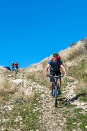
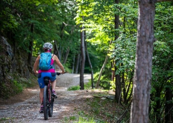
It is a complete route, fun and good for training, with some challenging uphills and nice downhills with some very technical passages. To do if you don’t have much time and don’t mind working up a sweat.
It is suitable with an all-mountain or enduro mtb but you can tackle it with a cross country mtb too.
Map and GPS Track
Details
-
Difficulty
-
Difficulty
medium
-
Technical difficulty (1 to 5)
3
-
Physical training (1 to 5)
3
-
Difficulty
-
Technical characteristics
-
Starting point
Malcesine
-
Endpoint
Malcesine
-
Route
Malcesine – Strada Panoramica – Passo Campiano – Faigolo – Fubia – Dosso del Merlo – Navene – Malcesine
-
Starting height
90m
-
Highest point
563m
-
Altitude – ascent/descent
553m/549m
-
Distance
18,4km
-
Duration
2,5 hrs
-
Starting point
-
Scenic appeal
-
Experience (1 to 5)
3
-
Landscape (1 to 5)
4
-
Experience (1 to 5)
-
Type of route
- Round tour
- Panoramic route
-
Best time of year
-
All year over
without snow
-
All year over
Partner
Point of interest along the mtb track
It’s one of the finest trails in our area which leads you over dirt tracks to the lake shores. Along the trail from Faigolo to Navene there are a lot of First World War trenches.
Tour description
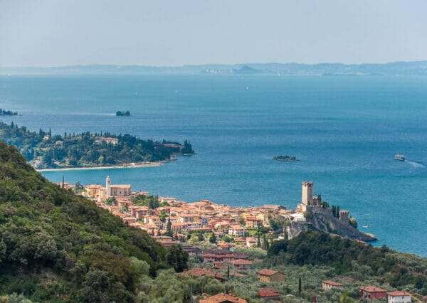
Starting from Malcesine you take Via Navene Vecchia, the road which leads to the cable car of Funivia Malcesine Monte Baldo and continue along the tarmac road heading north, with some short uphills. After a flat stretch and a short descent turn right on Via Panoramica that, with its never too high gradients, goes up to Passo Campiano at 370m.
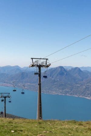
The uphill here becomes tougher. Continue and turn left on the tarmac road following the directions for the middle station of the cable car (San Michele).
After going under the cable car cables the road becomes steep again: at the next crossroad go left on the concrete road following the signs to Faigolo.
Finally the road flattens and you can wear your protective gear. Continue on the left on a dirt road and after a short descent you reach the meadows of Faigolo.
On your left the downhill on trail 4 starts. The first part up to the crossroad indicating Fubia is very technical and challenging over loose rocks. At the crossroad head right (pay attention to the step) and continue on a short uphill on trail 4 up to Fubia. Here the terrain is more solid and flowing.
From Fubia you go down right along steep and narrow bends (better get off the bike to avoid spoiling the bends) and you start pedaling again on a beautiful up and down with some short stretches which are a bit exposed. Here you will find some big boulders on the trail: pay attention.
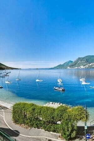
At the clearing continue north on the main trail. You will find yourself on a comfortable off-road downhill with lots of bends down to the village of Navene. From here go down to the lake and enter the cycle lane heading south to return to Malcesine.
Variations
This route can not be done in reverse.
At Fubia starts the Riserva Naturale Integrale Gardesana Orientale. It is at your discretion to follow it because you may be subject to penalties from the forestry body.
If you don’t want to follow it, once you reach Fubia go down on the left instead of the right and follow the directions to Malcesine. On the Via Panoramica there is another shortcut on a muletrack in front of you which leads directly to Malcesine.
What we suggest
- During summer leave early in the morning to avoid the uphill that has very few points in the shade
- In Passo Campiano there is a fountain to cool off, take a break before the steep climb and refill your bottle
The route during winter
Thanks to its low altitude (maximum height is 560m) it can be done all year round.
Shelters, huts or bivouacs along the trail
There aren’t any.
Partner
How to reach the starting point
The trail starts from Malcesine on the Via Navene Vecchia.
Parking
In Malcesine.
Here you have the list of the parking lots located in the center of Malcesine.
Public transport
- From Torbole or Riva del Garda take a bus travelling south in the direction of Peschiera/Verona.
- From Peschiera or Verona take a bus travelling north in the direction of Riva del Garda.


