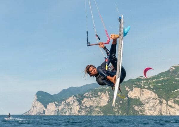
In Dro, Torbole, Malcesine and Brenzone sul Garda: a hidden trail, a famous one, a lunar one, an historical one and a scenic one

Angela Trawoeger
Creator, photographer and content manager

In this article I’ve selected for you five easy trails to do in spring on Lake Garda. On the 360gardalife there’s loads of trails to choose from and it’s been hard to pick just five, therefore I’ve decided to select them from North to South basing myself on a specific distinguishing feature.
There is the hidden trail and the famous one, the historical one and the scenic one. Although in truth they’re all scenic!
To date we don’t know yet when the cable car Malcesine Monte Baldo will open, therefore I intentionally left out the trails leaving from the Mount Baldo cable car station in Tratto Spino. As soon as I have news on the opening, I’ll update you on Facebook or in our newsletter.
Balot taca via
The hidden trail
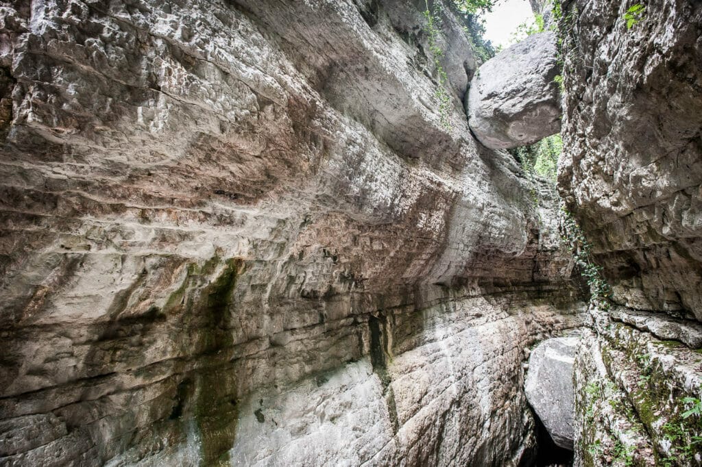
It’s getting more and more popular on the websites to write about the “Balot tacà via“, the stone nestled among two high rock walls in Brenzone sul Garda. In the last few years it’s been charted and the 2 mt wall which had to be climbed over at the beginning of the valley – previously hard to follow – has now a ladder. Go and see it as soon as you can, I’m afraid this won’t be hidden for much longer.
You’ll find photos, descriptions, map and GPS track to download.
Stairways Busatte-Tempesta
The famous trail (and scenic)
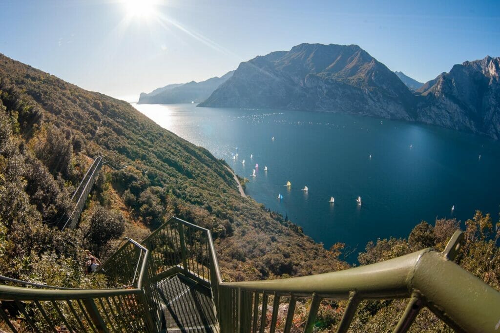
This is one of the most beautiful, easy and famous trails of Lake Garda. It consists of three stairways built on the rock with a total of 400 steps with views overlooking Lake Garda from North to South. It starts from the Park of Busatte in Torbole and it gets to Tempesta, or viceversa. Start from Torbole if you want to go down the stairs or from Tempesta if you want to climb them up.
Here you’ll find photos, descriptions, map and GPS track to download.
Marocche di Dro
The lunar trail

Yes, lunar. It is an approx. 5 kilometer walk in a huge rocky desert where plant and animal life adapted themselves to a particularly arid habitat.
With its 13 km2 extension, the Marocche of Dro ( in the Trentino dialect “Maròc” means “block of rock”) are the biggest post-glacial landslide of all Alps and since 2000 you can also see the dinosaur footprints in the easternmost point of the trail.
Here you’ll find photos, descriptions, map and GPS track to download.
Dosso Merlo and Mount Fubia
The historical trail
Partner

A 12-kilometer trail easy and vary that pass by the recently restored entrenched field of Dosso Merlo, dated back to World War 1.
You leave from Malcesine on the cycle path till Navene, you go uphill on a forest road that takes you to the entrenched field of Dosso Merlo and on Mount Fubia and you go back down to Malcesine on an ancient mule track.
If you’re interested in just visiting the entrenched field, you can leave your car in Navene and a 40-minute easy walk will take you there.
Here you’ll find photos, descriptions, map and GPS track to download.
To the hamlet of Campo di Brenzone from Sant’Antonio delle Pontare
The scenic trail on the hill

A pleasant walk on the hill through the small hamlets of Brenzone sul Garda. In Sant’Antonio delle Pontare you will find a small sacred building dedicated to Sant’Antonio Abate, protector of animals. And Campo is the most famous medieval hamlet of Brenzone sul Garda, where time seems to have stopped.
Here you’ll find photos, descriptions, map and GPS track to download.
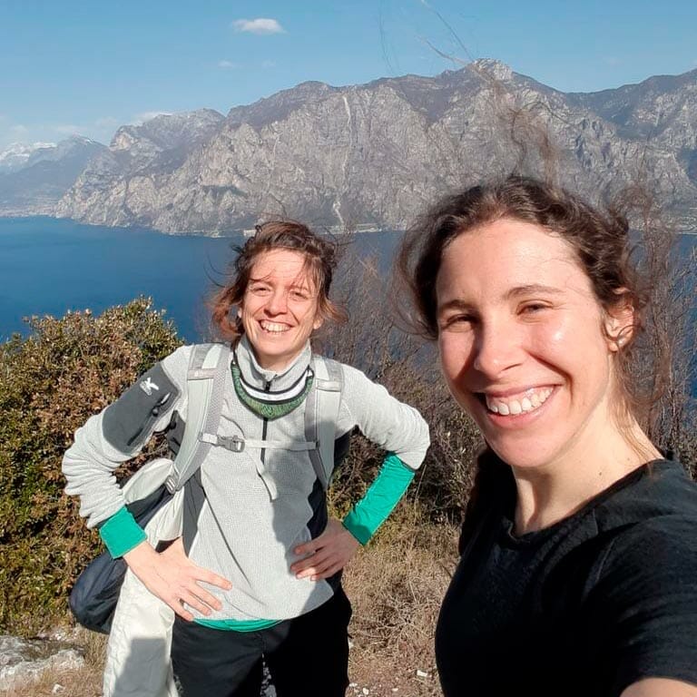
We’ve done them loads of times and we’re not fed up yet. After all, it is not the level that counts but how much you’re willing to do something and feel good outdoor.
Enjoy your walk and let us know on Facebook and Instagram when you come to discover them.


